
Oquossoc topographic map
Interactive map
Click on the map to display elevation.
About this map
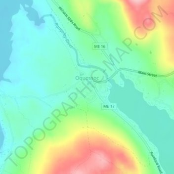
Name: Oquossoc topographic map, elevation, terrain.
Location: Oquossoc, Rangeley, Franklin County, Maine, United States (44.96161 -70.78590 44.96833 -70.76815)
Average elevation: 488 m
Minimum elevation: 440 m
Maximum elevation: 591 m