Geolocate

Casellina topographic map

Click on the map to display elevation.

About this map
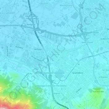
Name: Casellina topographic map, elevation, terrain.

Location: Casellina, Scandicci, Firenze, Toscana, 50018, Italia (43.74342 11.15293 43.78342 11.19293)

Average elevation: 50 m

Minimum elevation: 34 m

Maximum elevation: 217 m

Gear up for your next adventure:

🦟Insect Repellent - Keep mosquitoes and black flies away in wooded areas
🧣Evaporative Cooling Towel - Beat the heat during intense summer climbs
🧢Sun Protection Cap - Breathable cap to protect from sun exposure
🌬️Windproof Camp Stove - Efficient cooking even on exposed mountain peaks
🕶️Polarized Sunglasses - Protect your eyes with durable polarized lenses

As an Amazon Associate, this site earns from qualifying purchases at no extra cost to you.