Geolocate

Edna Lake topographic map

Click on the map to display elevation.

About this map

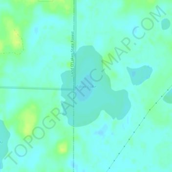
Name: Edna Lake topographic map, elevation, terrain.

Location: Edna Lake, Aitkin County, Minnesota, United States (46.84032 -93.77888 46.85312 -93.76270)

Average elevation: 411 m

Minimum elevation: 406 m

Maximum elevation: 422 m

Other topographic maps

Click on a map to view its topography, its elevation and its terrain.

McGrath

United States > Minnesota > Aitkin County

Average elevation: 379 m

Gear up for your next adventure:

💡LED Camping Lantern - Illuminate your campsite with long-lasting lanterns
💧Collapsible Water Bottle - Space-saving water bottle for outdoor activities
🥾All-Terrain Hiking Boots - Versatile boots for varied hiking conditions
Lightweight Camping Tent - Portable shelter optimized for Canadian backcountry camping
🥾Trekking Boots - Durable boots for long-distance trekking

As an Amazon Associate, this site earns from qualifying purchases at no extra cost to you.