Geolocate

Sector 49 topographic map

Click on the map to display elevation.

About this map

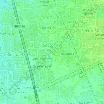
Name: Sector 49 topographic map, elevation, terrain.

Location: Sector 49, Gurgaon, Gurugram District, Haryana, India (28.40134 77.04032 28.42085 77.05898)

Average elevation: 229 m

Minimum elevation: 222 m

Maximum elevation: 233 m

Gear up for your next adventure:

🧭GPS Handheld Device - Reliable GPS navigation for outdoor adventures
🔋Lithium AA Batteries - Long-lasting power that performs in extreme cold
🥾Mountain Hiking Shoes - Shoes with superior grip for mountainous terrain
🧥Thermal Fleece Jacket - Versatile insulation for changing mountain temperatures
🧥Waterproof Hiking Jacket - Protect yourself from rain and wind while hiking

As an Amazon Associate, this site earns from qualifying purchases at no extra cost to you.