
Sork Ale topographic map
Interactive map
Click on the map to display elevation.
About this map
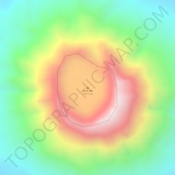
Name: Sork Ale topographic map, elevation, terrain.
Location: Sork Ale, Zone 2, Afar, Éthiopie (13.18539 41.72365 13.18549 41.72375)
Average elevation: 1,181 m
Minimum elevation: 847 m
Maximum elevation: 1,591 m
Other topographic maps
Click on a map to view its topography, its elevation and its terrain.
Mille
Éthiopie > Afar > Lower Miele
Mille, Lower Miele, Zone 1, Afar, Éthiopie
Average elevation: 496 m