
Forêt Ouareau Secteur Grande Vallée topographic map
Interactive map
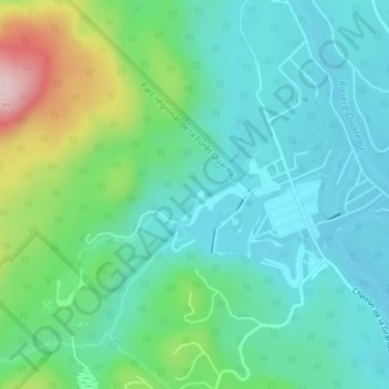
Click on the map to display elevation.
About this map
Name: Forêt Ouareau Secteur Grande Vallée topographic map, elevation, terrain.
Average elevation: 300 m
Minimum elevation: 223 m
Maximum elevation: 535 m
Other topographic maps
Click on a map to view its topography, its elevation and its terrain.
Lac Charlevoix
Canada > Québec > Matawinie > Chertsey
Lac Charlevoix, Chertsey, Matawinie, Lanaudière, Québec, Canada
Average elevation: 328 m
Lac des Ukrainiens
Canada > Québec > Matawinie > Chertsey
Lac des Ukrainiens, Chertsey, Matawinie, Lanaudière, Québec, Canada
Average elevation: 273 m