Geolocate

Rapalli topographic map

Click on the map to display elevation.

About this map
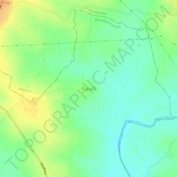
Name: Rapalli topographic map, elevation, terrain.

Location: Rapalli, Bonakal mandal, Khammam District, Telangana, India (17.03892 80.32691 17.07892 80.36691)

Average elevation: 72 m

Minimum elevation: 57 m

Maximum elevation: 92 m

Gear up for your next adventure:

🛌Down Sleeping Bag - Superior warmth-to-weight ratio for cold nights
🧦Hiking Socks - Moisture-wicking and comfortable socks for long hikes
🥾Hiking Shorts - Breathable shorts suitable for summer hikes
🔭Outdoor Binoculars - Lightweight binoculars for birdwatching and hiking
🪜Heavy Duty Carabiners - Multi-use clips for securing gear to your backpack

As an Amazon Associate, this site earns from qualifying purchases at no extra cost to you.