
Westwoud topographic map
Interactive map
Click on the map to display elevation.
About this map
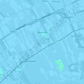
Name: Westwoud topographic map, elevation, terrain.
Location: Westwoud, Drechterland, Nordholland, Niederlande (52.66411 5.09175 52.69632 5.17159)
Average elevation: -1 m
Minimum elevation: -4 m
Maximum elevation: 3 m
Other topographic maps
Click on a map to view its topography, its elevation and its terrain.
Schellinkhout
Niederlande > Nordholland > Drechterland
Schellinkhout, Drechterland, Nordholland, Niederlande
Average elevation: -1 m
Oosterleek
Niederlande > Nordholland > Drechterland
Oosterleek, Drechterland, Nordholland, Niederlande
Average elevation: 0 m
Drechterland
Niederlande > Nordholland > Drechterland
Drechterland, Nordholland, Niederlande
Average elevation: -1 m