
Artigas topographic map
Interactive map
Click on the map to display elevation.
About this map
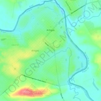
Name: Artigas topographic map, elevation, terrain.
Location: Artigas, 55000, Uruguay (-30.43044 -56.49842 -30.38491 -56.44471)
Average elevation: 111 m
Minimum elevation: 86 m
Maximum elevation: 173 m