Geolocate

Elko topographic map

Click on the map to display elevation.

About this map

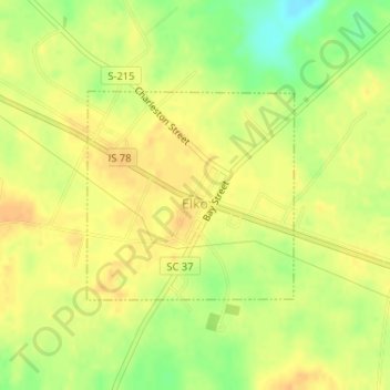
Name: Elko topographic map, elevation, terrain.

Location: Elko, Barnwell County, South Carolina, United States (33.37375 -81.38853 33.38822 -81.37131)

Average elevation: 99 m

Minimum elevation: 78 m

Maximum elevation: 109 m

Gear up for your next adventure:

🌬️Windproof Camp Stove - Efficient cooking even on exposed mountain peaks
💧Hydration Bladder - Hands-free hydration solution for long treks
🧥Waterproof Hiking Jacket - Protect yourself from rain and wind while hiking
🛌Insulated Sleeping Pad - Critical thermal barrier between you and the cold ground
🔥Emergency Fire Starter - Reliable ignition source for all weather conditions

As an Amazon Associate, this site earns from qualifying purchases at no extra cost to you.