Geolocate

Raleigh topographic map

Click on the map to display elevation.

About this map

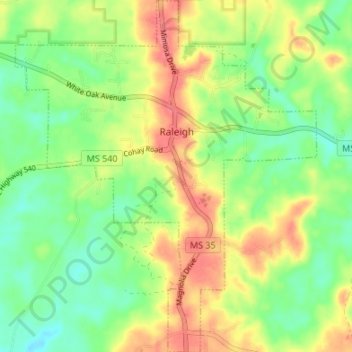
Name: Raleigh topographic map, elevation, terrain.

Location: Raleigh, Smith County, Mississippi, 39153, United States (31.99767 -89.55322 32.05468 -89.49555)

Average elevation: 131 m

Minimum elevation: 100 m

Maximum elevation: 170 m

Other topographic maps

Click on a map to view its topography, its elevation and its terrain.

Bunker Hill

United States > Mississippi > Smith County

Average elevation: 98 m

Gear up for your next adventure:

🥾Light Trekking Boots - Supportive boots for multi-day treks
🔭Outdoor Binoculars - Lightweight binoculars for birdwatching and hiking
🔥Camping Stove - Portable stoves to cook outdoors with ease
🛰️Satellite Messenger - Emergency communication for areas with no cell service
🎒Hiking Backpack - Lightweight and ergonomic backpacks for day hikes or multi-day treks

As an Amazon Associate, this site earns from qualifying purchases at no extra cost to you.