
White Hall topographic map
Click on the map to display elevation.
About this map
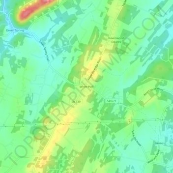
Name: White Hall topographic map, elevation, terrain.
Location: White Hall, Frederick County, Virginia, United States (39.27121 -78.16806 39.31121 -78.12806)
Average elevation: 244 m
Minimum elevation: 209 m
Maximum elevation: 318 m
Other topographic maps
Click on a map to view its topography, its elevation and its terrain.
Kernstown Battlefield Park
United States > Virginia > Frederick County > Winchester > Valley Acres
Average elevation: 241 m