Geolocate

Monte Pizzoc topographic map

Click on the map to display elevation.

Monte Pizzoc

Pizzoc is a mountain of the Veneto, Italy. It has an elevation of 1,565 metres.

Wikipedia (CC-BY-SA 3.0)

About this map

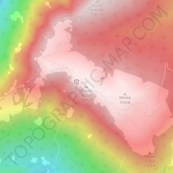
Name: Monte Pizzoc topographic map, elevation, terrain.

Location: Monte Pizzoc, Fregona, Province of Treviso, Veneto, 31010, Italy (46.04040 12.34701 46.04050 12.34711)

Average elevation: 1,240 m

Minimum elevation: 566 m

Maximum elevation: 1,562 m

Gear up for your next adventure:

💡Compact LED Flashlight - Powerful and portable flashlight for outdoor use
💧Reusable Water Bottle - Durable water bottles for hydration on trails
🧥Thermal Layer - Insulating layer for cold outdoor conditions
🧦Merino Wool Socks - Moisture-wicking comfort for long-distance hiking
👟Trail Running Shoes - Agile footwear for fast-paced topographic exploration

As an Amazon Associate, this site earns from qualifying purchases at no extra cost to you.