Geolocate

Candiac topographic map

Click on the map to display elevation.

About this map

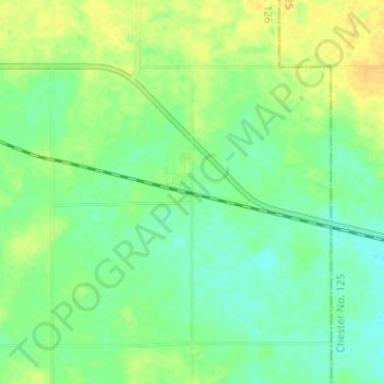
Name: Candiac topographic map, elevation, terrain.

Location: Candiac, Montmartre No. 126, Saskatchewan, Canada (50.18906 -103.27758 50.22906 -103.23758)

Average elevation: 686 m

Minimum elevation: 675 m

Maximum elevation: 700 m

Montmartre No. 126 trails, hiking, mountain biking, running and outdoor activities

Gear up for your next adventure:

🧴Outdoor Sunscreen - High SPF protection for high-altitude UV exposure
🥽Outdoor Goggles - Protective eyewear for outdoor activities
💧Reusable Water Bottle - Durable water bottles for hydration on trails
💧Hydration Bladder - Hands-free hydration solution for long treks
🧥Waterproof Jacket - Lightweight rain jackets for hiking and outdoor activities

As an Amazon Associate, this site earns from qualifying purchases at no extra cost to you.