Geolocate

Bulla topographic map

Click on the map to display elevation.

About this map

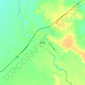
Name: Bulla topographic map, elevation, terrain.

Location: Bulla, Victoria Daly Region, Northern Territory, Australia (-15.80579 129.99977 -15.72579 130.07977)

Average elevation: 31 m

Minimum elevation: 19 m

Maximum elevation: 45 m

Gear up for your next adventure:

🥾Waterproof Hiking Boots - Boots keeping your feet dry in wet conditions
🧢Sun Protection Cap - Breathable cap to protect from sun exposure
🎒Fully Waterproof Backpack - Total protection for photography gear and electronics
🥾Hiking Shoes - Durable and comfortable shoes for trail hiking
🌡️Emergency Mylar Blankets - Compact thermal protection for unexpected nights outdoors

As an Amazon Associate, this site earns from qualifying purchases at no extra cost to you.