Geolocate

laluri topographic map

Click on the map to display elevation.

About this map

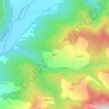
Name: laluri topographic map, elevation, terrain.

Location: laluri, Chaukhutiya, Almora, Uttarakhand, India (29.82124 79.29672 29.86124 79.33672)

Average elevation: 1,192 m

Minimum elevation: 876 m

Maximum elevation: 1,739 m

Gear up for your next adventure:

🧢Hiking Hat - Sun-protective and breathable hats for long treks
🦟Insect Repellent - Keep mosquitoes and black flies away in wooded areas
🚲Bike Repair Kit - Essential tools for on-trail mechanical issues
💡LED Camping Lantern - Illuminate your campsite with long-lasting lanterns
🔭Compact Binoculars - Lightweight optics for scouting trails and wildlife

As an Amazon Associate, this site earns from qualifying purchases at no extra cost to you.