
Söğütçük topographic map
Interactive map
Click on the map to display elevation.
About this map
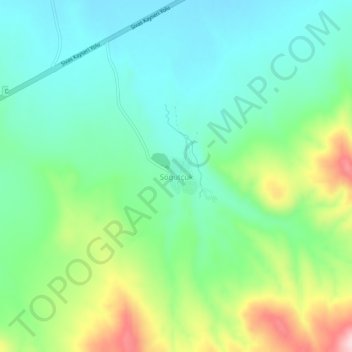
Name: Söğütçük topographic map, elevation, terrain.
Location: Söğütçük, Sivas merkez, Sivas, Zentralanatolien, Türkei (39.43998 36.74304 39.47998 36.78304)
Average elevation: 1,428 m
Minimum elevation: 1,345 m
Maximum elevation: 1,619 m
Other topographic maps
Click on a map to view its topography, its elevation and its terrain.