Geolocate

Manihi topographic map

Click on the map to display elevation.

About this map

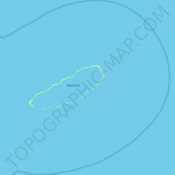
Name: Manihi topographic map, elevation, terrain.

Location: Manihi, Tuamotu-Gambier, French Polynesia, France (-14.66830 -146.15844 -14.12788 -145.62869)

Average elevation: 0 m

Minimum elevation: -1 m

Maximum elevation: 11 m

Gear up for your next adventure:

🧊Portable Cooler - Keep food and drinks cold during outdoor adventures
🚲Heavy Duty Bike Lock - Secure your bike at the trailhead or during stops
🥾Trail Hiking Socks - Comfortable socks to prevent blisters and fatigue
🦟Insect Repellent - Keep mosquitoes and black flies away in wooded areas
🧣Evaporative Cooling Towel - Beat the heat during intense summer climbs

As an Amazon Associate, this site earns from qualifying purchases at no extra cost to you.