
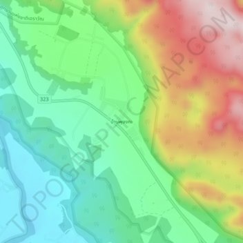
Ban Phu Ong Ka topographic map
Interactive map
Click on the map to display elevation.
About this map
Name: Ban Phu Ong Ka topographic map, elevation, terrain.
Location: Ban Phu Ong Ka, Kanchanaburi Province, Thailand (14.24363 99.01657 14.28363 99.05657)
Average elevation: 258 m
Minimum elevation: 45 m
Maximum elevation: 618 m