Geolocate

Pamera topographic map

Click on the map to display elevation.

About this map

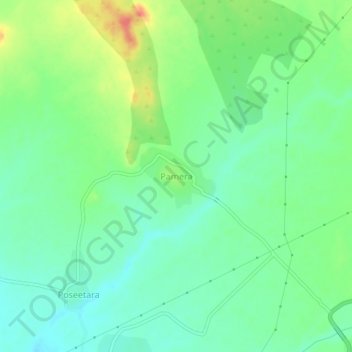
Name: Pamera topographic map, elevation, terrain.

Location: Pamera, Reodar Tehsil, Sirohi, Rajasthan, India (24.68013 72.63250 24.72013 72.67250)

Average elevation: 288 m

Minimum elevation: 269 m

Maximum elevation: 324 m

Gear up for your next adventure:

💡Solar Camping Lamp - Eco-friendly lighting for campsites
🥾Light Trekking Boots - Supportive boots for multi-day treks
🥾Trekking Poles - Adjustable trekking poles to reduce knee stress and improve stability
🩹Compact First Aid Kit - Pre-packed essentials for common trail injuries
🛏️Camping Sleeping Mat - Comfortable mats for sleeping outdoors

As an Amazon Associate, this site earns from qualifying purchases at no extra cost to you.