
Sarhala topographic map
Interactive map
Click on the map to display elevation.
About this map
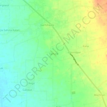
Name: Sarhala topographic map, elevation, terrain.
Location: Sarhala, Dasua Tahsil, Hoshiarpur, Pendjab, 144207, Inde (31.71087 75.73811 31.75087 75.77811)
Average elevation: 289 m
Minimum elevation: 272 m
Maximum elevation: 313 m