
ولسوالی یکاولنگ topographic map
Interactive map
Click on the map to display elevation.
About this map
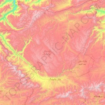
Name: ولسوالی یکاولنگ topographic map, elevation, terrain.
Location: ولسوالی یکاولنگ, Bamiyan, Afghanistan (34.49217 66.27695 35.46654 67.44378)
Average elevation: 3,273 m
Minimum elevation: 1,587 m
Maximum elevation: 4,621 m