Geolocate

Tirur topographic map

Click on the map to display elevation.

About this map

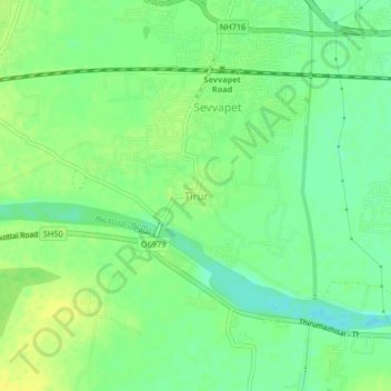
Name: Tirur topographic map, elevation, terrain.

Location: Tirur, Thiruvallur, Tamil Nadu, 602025, India (13.09223 79.94332 13.13223 79.98332)

Average elevation: 39 m

Minimum elevation: 28 m

Maximum elevation: 49 m

Gear up for your next adventure:

🧭Orienteering Kit - Tools for map reading and navigation in the wild
🧥Softshell Jacket - Windproof and breathable jacket for hiking
🔥Emergency Fire Starter - Reliable ignition source for all weather conditions
🥫Freeze-Dried Meals - Lightweight, high-calorie nutrition for multi-day treks
🧢Hiking Sun Hat - Wide-brimmed protection for exposed mountain ridges

As an Amazon Associate, this site earns from qualifying purchases at no extra cost to you.