Geolocate

Ventarrón topographic map

Click on the map to display elevation.

About this map

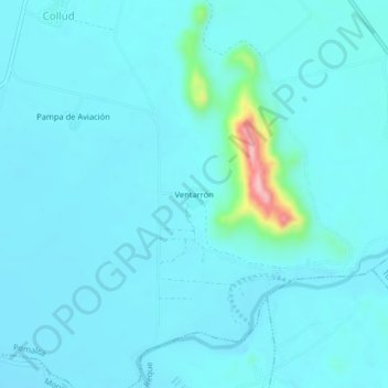
Name: Ventarrón topographic map, elevation, terrain.

Location: Ventarrón, Pomalca, Chiclayo, Lambayeque, Perú (-6.82478 -79.77936 -6.78478 -79.73936)

Average elevation: 51 m

Minimum elevation: 31 m

Maximum elevation: 230 m

Gear up for your next adventure:

🧥Waterproof Pants - Keep dry during rainy hiking conditions
👟Trail Running Shoes - Agile footwear for fast-paced topographic exploration
🚑Survival Whistle - Signal for help across long distances in mountains
🥾Mountaineering Boots - Supportive boots for climbing and high-altitude hiking
🧥Insulated Jacket - Keep warm in cold outdoor conditions

As an Amazon Associate, this site earns from qualifying purchases at no extra cost to you.