Geolocate

Helmstedt topographic map

Click on the map to display elevation.

About this map

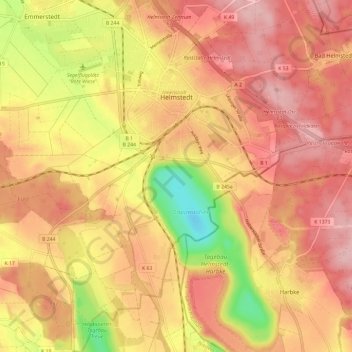
Name: Helmstedt topographic map, elevation, terrain.

Location: Helmstedt, Landkreis Helmstedt, Lower Saxony, 38350, Germany (52.17537 10.93892 52.24748 11.04518)

Average elevation: 137 m

Minimum elevation: 37 m

Maximum elevation: 193 m

Gear up for your next adventure:

🥾Mountain Trail Shoes - High-traction shoes for mountain trails
💡Compact LED Flashlight - Powerful and portable flashlight for outdoor use
🧼Biodegradable Camp Soap - Environmentally friendly cleaning for gear and body
🥾Mountain Hiking Boots - High-traction boots for rocky terrain
🔭Compact Monocular - One-handed bird watching and trail spotting

As an Amazon Associate, this site earns from qualifying purchases at no extra cost to you.