Geolocate

Rio Negro topographic map

Click on the map to display elevation.

About this map

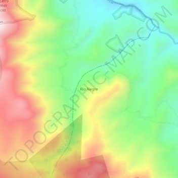
Name: Rio Negro topographic map, elevation, terrain.

Location: Rio Negro, Puracé, Centro, Cauca, RAP Pacífico, Colombia (2.19128 -76.56634 2.23128 -76.52634)

Average elevation: 3,199 m

Minimum elevation: 2,915 m

Maximum elevation: 3,576 m

Gear up for your next adventure:

🧭GPS Outdoor Watch - Smart watch for navigation and fitness tracking in nature
🦟Insect Repellent - Keep mosquitoes and black flies away in wooded areas
🥾Waterproof Hiking Boots - Essential footwear for rugged terrain and wet Canadian trails
🧥Thermal Fleece Jacket - Versatile insulation for changing mountain temperatures
Camping Coffee Maker - Brew fresh coffee anywhere on the topographic map

As an Amazon Associate, this site earns from qualifying purchases at no extra cost to you.