Geolocate

Sabang 2 topographic map

Click on the map to display elevation.

About this map

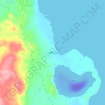
Name: Sabang 2 topographic map, elevation, terrain.

Location: Sabang 2, Caluya, Antique, Western Visayas, Philippines (12.02044 121.38838 12.06044 121.42838)

Average elevation: 26 m

Minimum elevation: -94 m

Maximum elevation: 131 m

Other topographic maps

Click on a map to view its topography, its elevation and its terrain.

Semirara Island

Philippines > Antique > Caluya

Average elevation: 6 m

Gear up for your next adventure:

🎒Hiking Backpack - Lightweight and ergonomic backpacks for day hikes or multi-day treks
🚲Handlebar Phone Mount - View topographic-map.com live while cycling
💡Compact LED Flashlight - Powerful and portable flashlight for outdoor use
🔭Compact Binoculars - Lightweight optics for scouting trails and wildlife
🧥Ultralight Puffy Jacket - Maximum warmth that packs down to the size of an orange

As an Amazon Associate, this site earns from qualifying purchases at no extra cost to you.