Geolocate

Notus topographic map

Click on the map to display elevation.

About this map

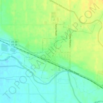
Name: Notus topographic map, elevation, terrain.

Location: Notus, Canyon County, Idaho, 83656, United States (43.72040 -116.81527 43.73453 -116.79269)

Average elevation: 708 m

Minimum elevation: 696 m

Maximum elevation: 722 m

Other topographic maps

Click on a map to view its topography, its elevation and its terrain.

Fischer Island

United States > Idaho > Canyon County

Average elevation: 729 m

Gear up for your next adventure:

🥾Hiking Boots - Sturdy boots providing ankle support and traction on rugged trails
🧼Biodegradable Camp Soap - Environmentally friendly cleaning for gear and body
🥾Trail Running Shoes - Lightweight and durable shoes for trail running
🥾Hiking Gaiters - Protect legs and shoes from mud, snow, and debris
🧰Emergency Multi-Tool - Compact multi-tool for outdoor survival

As an Amazon Associate, this site earns from qualifying purchases at no extra cost to you.