Geolocate

El Pinar topographic map

Click on the map to display elevation.

About this map

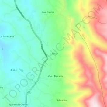
Name: El Pinar topographic map, elevation, terrain.

Location: El Pinar, Piendamó, Centro, Cauca, 190530, Colombia (2.66705 -76.54488 2.70705 -76.50488)

Average elevation: 1,870 m

Minimum elevation: 1,636 m

Maximum elevation: 2,288 m

Gear up for your next adventure:

🧭GPS Outdoor Watch - Smart watch for navigation and fitness tracking in nature
🛶Canoe Life Vest - Safety vest for water sports
🔥Emergency Fire Starter - Reliable ignition source for all weather conditions
Bushcraft Tarp - Versatile emergency shelter or gear protection
🩹Compact First Aid Kit - Pre-packed essentials for common trail injuries

As an Amazon Associate, this site earns from qualifying purchases at no extra cost to you.