
Shivpuri topographic map
Click on the map to display elevation.
Shivpuri
Shivpuri is a city and a municipality in Shivpuri district located in the central Indian state of Madhya Pradesh. It is in the Gwalior Division of northwest Madhya Pradesh and is the administrative headquarters of Shivpuri District. It is situated at an altitude of 1,515 feet (462 m) above sea level.
About this map
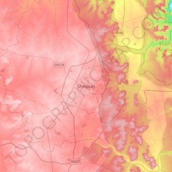
Name: Shivpuri topographic map, elevation, terrain.
Average elevation: 442 m
Minimum elevation: 284 m
Maximum elevation: 501 m