Geolocate

Cholul topographic map

Click on the map to display elevation.

About this map

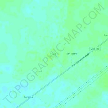
Name: Cholul topographic map, elevation, terrain.

Location: Cholul, Chemax, Yucatán, Mexico (20.75444 -87.81456 20.79444 -87.77456)

Average elevation: 22 m

Minimum elevation: 18 m

Maximum elevation: 26 m

Gear up for your next adventure:

🧢Beanie Hat - Keep your head warm in cold weather
🥾Hiking Shorts - Breathable shorts suitable for summer hikes
🧢Outdoor Cap - Protective cap for sun and rain during hikes
🧢Hiking Hat - Sun-protective and breathable hats for long treks
🥾Waterproof Hiking Boots - Boots keeping your feet dry in wet conditions

As an Amazon Associate, this site earns from qualifying purchases at no extra cost to you.