Geolocate

Mount Semeru topographic map

Click on the map to display elevation.

About this map
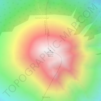
Name: Mount Semeru topographic map, elevation, terrain.

Location: Mount Semeru, Lumajang, East Java, Indonesia (-8.10789 112.92243 -8.10779 112.92253)

Average elevation: 3,103 m

Minimum elevation: 2,482 m

Maximum elevation: 3,660 m

Other topographic maps

Click on a map to view its topography, its elevation and its terrain.

Oro-oro Ombo

Indonesia > East Java > Lumajang

Average elevation: 1,079 m

Gear up for your next adventure:

🔭Outdoor Binoculars - Lightweight binoculars for birdwatching and hiking
🎒Hiking Daypack - Lightweight and durable backpacks for day trips and excursions
🐕Hiking Dog Pack - Let your canine companion carry their own water and food
💧Hydration Pack - Hands-free hydration system for long hikes
⛺Bushcraft Tarp - Versatile emergency shelter or gear protection

As an Amazon Associate, this site earns from qualifying purchases at no extra cost to you.