
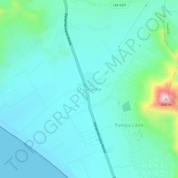
Chancayllo topographic map
Interactive map
Click on the map to display elevation.
About this map
Name: Chancayllo topographic map, elevation, terrain.
Location: Chancayllo, Provincia de Huaral, Lima, Perú (-11.50971 -77.32384 -11.46971 -77.28384)
Average elevation: 73 m
Minimum elevation: -1 m
Maximum elevation: 451 m