Geolocate

Baxley topographic map

Click on the map to display elevation.

About this map

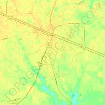
Name: Baxley topographic map, elevation, terrain.

Location: Baxley, Appling County, Georgia, 31515, United States (31.70896 -82.40851 31.81158 -82.30040)

Average elevation: 61 m

Minimum elevation: 44 m

Maximum elevation: 67 m

Gear up for your next adventure:

💧Hydration Bladder - Hands-free hydration solution for long treks
🧭Orienteering Kit - Tools for map reading and navigation in the wild
🔭Compact Binoculars - Lightweight optics for scouting trails and wildlife
🥾Lightweight Hiking Shoes - Comfortable shoes for day hikes
🧭GPS Tracker - Track your location in remote areas safely

As an Amazon Associate, this site earns from qualifying purchases at no extra cost to you.