Geolocate

Pachila topographic map

Click on the map to display elevation.

About this map
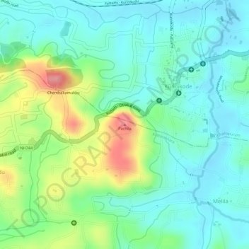
Name: Pachila topographic map, elevation, terrain.

Location: Pachila, Melila, Kottarakkara, Kollam, Kerala, 691508, India (9.01905 76.84129 9.01915 76.84139)

Average elevation: 49 m

Minimum elevation: 15 m

Maximum elevation: 121 m

Gear up for your next adventure:

🧶550 Survival Paracord - Versatile utility cord for emergency repairs and rigging
🪑Ultralight Camping Stool - Compact seating for rest stops during long hikes
🦟Insect Repellent - Keep mosquitoes and black flies away in wooded areas
🥾Durable Hiking Shoes - Long-lasting shoes for frequent hiking
🛏️Camping Sleeping Mat - Comfortable mats for sleeping outdoors

As an Amazon Associate, this site earns from qualifying purchases at no extra cost to you.