
Monterredondo topographic map
Click on the map to display elevation.
About this map
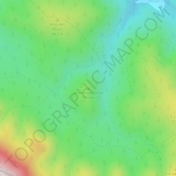
Name: Monterredondo topographic map, elevation, terrain.
Average elevation: 875 m
Minimum elevation: 665 m
Maximum elevation: 1,302 m
Other topographic maps
Click on a map to view its topography, its elevation and its terrain.
01420
Spain > Autonomous Community of the Basque Country > Añanako kuadrilla/Cuadrilla de Añana > Castillo Sopeña
Average elevation: 660 m
Nanclares de la Oca/Langraiz Oka
Spain > Autonomous Community of the Basque Country > Añanako kuadrilla/Cuadrilla de Añana
Average elevation: 613 m