
宗西乡 topographic map
Interactive map
Click on the map to display elevation.
About this map
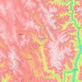
Name: 宗西乡 topographic map, elevation, terrain.
Location: 宗西乡, 芒康县, 昌都市, 西藏自治区, 中国 (29.68370 98.51388 30.30449 98.91341)
Average elevation: 4,127 m
Minimum elevation: 2,459 m
Maximum elevation: 5,093 m
Other topographic maps
Click on a map to view its topography, its elevation and its terrain.