
Missouri River topographic map
Click on the map to display elevation.
Missouri River
Elevations in the watershed vary widely, ranging from just over 400 feet (120 m) at the Missouri's mouth to the 14,293-foot (4,357 m) summit of Mount Lincoln in central Colorado. The river drops 8,626 feet (2,629 m) from Brower's Spring, the farthest source. Although the plains of the watershed have extremely little local vertical relief, the land rises about 10 feet per mile (1.9 m/km) from east to west. The elevation is less than 500 feet (150 m) at the eastern border of the watershed, but is over 3,000 feet (910 m) above sea level in many places at the base of the Rockies.
About this map
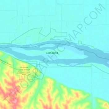
Name: Missouri River topographic map, elevation, terrain.
Average elevation: 368 m
Minimum elevation: 345 m
Maximum elevation: 466 m