Geolocate

Hagland topographic map

Click on the map to display elevation.

About this map

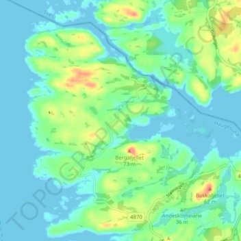
Name: Hagland topographic map, elevation, terrain.

Location: Hagland, Haugesund, Rogaland, 5514, Norway (59.46833 5.23313 59.50833 5.27313)

Average elevation: 15 m

Minimum elevation: -3 m

Maximum elevation: 61 m

Gear up for your next adventure:

🦟Insect Repellent - Keep mosquitoes and black flies away in wooded areas
🛶Kayak Dry Bag - Waterproof storage for kayaking adventures
🧭GPS Outdoor Watch - Smart watch for navigation and fitness tracking in nature
💧Hydration Bladder - Hands-free hydration solution for long treks
🥾Durable Hiking Shoes - Long-lasting shoes for frequent hiking

As an Amazon Associate, this site earns from qualifying purchases at no extra cost to you.