Geolocate

Phong topographic map

Click on the map to display elevation.

About this map

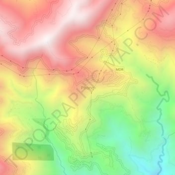
Name: Phong topographic map, elevation, terrain.

Location: Phong, Namchi, Namchi District, Sikkim, 737126, India (27.13414 88.41748 27.17414 88.45748)

Average elevation: 1,298 m

Minimum elevation: 523 m

Maximum elevation: 1,952 m

Gear up for your next adventure:

💧Filtered Water Bottle - Safe drinking water on the go
🥫Freeze-Dried Meals - Lightweight, high-calorie nutrition for multi-day treks
🔦LED Headlamp - Hands-free lighting for early morning starts or late finishes
🧥Insulated Jacket - Keep warm in cold outdoor conditions
🔋Lithium AA Batteries - Long-lasting power that performs in extreme cold

As an Amazon Associate, this site earns from qualifying purchases at no extra cost to you.