
Mourelle topographic map
Click on the map to display elevation.
About this map
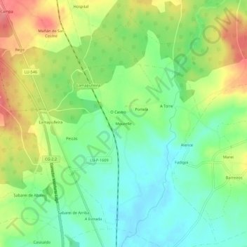
Name: Mourelle topographic map, elevation, terrain.
Location: Mourelle, Anseán, Corgo, Lugo, Galicia, 27163, España (42.89074 -7.47436 42.93074 -7.43436)
Average elevation: 404 m
Minimum elevation: 369 m
Maximum elevation: 456 m
Other topographic maps
Click on a map to view its topography, its elevation and its terrain.