
Mansfield topographic map
Interactive map
Click on the map to display elevation.
About this map
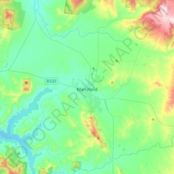
Name: Mansfield topographic map, elevation, terrain.
Location: Mansfield, Shire of Mansfield, Vitória, 3722, Austrália (-37.14475 145.95084 -36.95364 146.24426)
Average elevation: 401 m
Minimum elevation: 255 m
Maximum elevation: 901 m