
Lac O'Brien topographic map
Interactive map
Click on the map to display elevation.
About this map
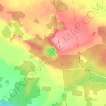
Name: Lac O'Brien topographic map, elevation, terrain.
Average elevation: 165 m
Minimum elevation: 98 m
Maximum elevation: 206 m
Other topographic maps
Click on a map to view its topography, its elevation and its terrain.
Rivière des Outaouais
Canada > Québec > Gatineau > Pontiac
Rivière des Outaouais, Rue Saint-Louis, Centrale des Rapides-Farmer, Gatineau, Outaouais, Québec, J8V 2P9, Canada
Average elevation: 318 m