
Glénat topographic map
Interactive map
Click on the map to display elevation.
About this map
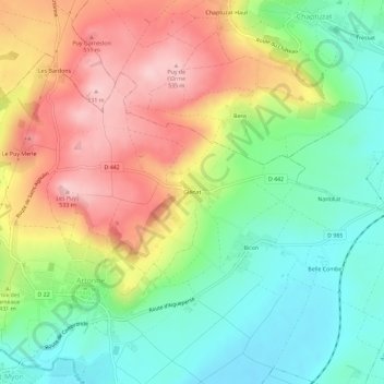
Name: Glénat topographic map, elevation, terrain.
Average elevation: 421 m
Minimum elevation: 334 m
Maximum elevation: 533 m
Other topographic maps
Click on a map to view its topography, its elevation and its terrain.
Bicon
France > Auvergne-Rhône-Alpes > Puy-de-Dôme > Artonne
Bicon, Artonne, Riom, Puy-de-Dôme, Auvergne-Rhône-Alpes, France métropolitaine, 63460, France
Average elevation: 394 m