Geolocate

Spittel topographic map

Click on the map to display elevation.

About this map

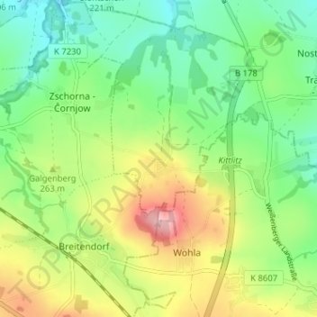
Name: Spittel topographic map, elevation, terrain.

Location: Spittel, Weißenberg, Bautzen, Sachsen, Deutschland (51.13138 14.61973 51.17138 14.65973)

Average elevation: 247 m

Minimum elevation: 190 m

Maximum elevation: 342 m

Gear up for your next adventure:

🌬️Windproof Camp Stove - Efficient cooking even on exposed mountain peaks
🌡️Emergency Mylar Blankets - Compact thermal protection for unexpected nights outdoors
🥾Light Hiking Boots - Lightweight and comfortable boots for day hikes
🧥Ultralight Puffy Jacket - Maximum warmth that packs down to the size of an orange
🛶Kayak Dry Bag - Waterproof storage for kayaking adventures

As an Amazon Associate, this site earns from qualifying purchases at no extra cost to you.