Geolocate

Pawna Tanda topographic map

Click on the map to display elevation.

About this map

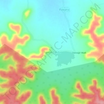
Name: Pawna Tanda topographic map, elevation, terrain.

Location: Pawna Tanda, Himayatnagar, Nanded, Maharashtra, India (19.31117 77.84541 19.35117 77.88541)

Average elevation: 465 m

Minimum elevation: 419 m

Maximum elevation: 544 m

Gear up for your next adventure:

🥫Freeze-Dried Meals - Lightweight, high-calorie nutrition for multi-day treks
🧥Waterproof Jacket - Lightweight rain jackets for hiking and outdoor activities
🧴Waterproofing Spray - Restore the DWR coating on jackets and tents
🧊Portable Cooler - Keep food and drinks cold during outdoor adventures
Camping Tent - Weather-resistant tents suitable for 2 to 6 people

As an Amazon Associate, this site earns from qualifying purchases at no extra cost to you.