Geolocate

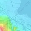
Maunong topographic map

Click on the map to display elevation.

About this map
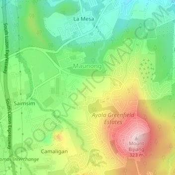
Name: Maunong topographic map, elevation, terrain.

Location: Maunong, Calamba, Laguna, Calabarzon, 4027, Philippines (14.15525 121.14342 14.18496 121.17228)

Average elevation: 141 m

Minimum elevation: 18 m

Maximum elevation: 319 m

Other topographic maps

Click on a map to view its topography, its elevation and its terrain.

Calamba Town Plaza

Philippines > Laguna > Calamba

Average elevation: 11 m

Bucal

Philippines > Laguna > Calamba

Average elevation: 22 m

88 Spa & Resort

Philippines > Laguna > Calamba

Average elevation: 83 m

ASN Ph2 Park

Philippines > Laguna > Calamba

Average elevation: 133 m

Bucal Reservoir

Philippines > Laguna > Calamba

Average elevation: 42 m

Casa de Palmera Resort

Philippines > Laguna > Calamba

Average elevation: 49 m

Gear up for your next adventure:

🧥Waterproof Pants - Keep dry during rainy hiking conditions
🧥Softshell Jacket - Windproof and breathable jacket for hiking
🧥Ultralight Puffy Jacket - Maximum warmth that packs down to the size of an orange
👟Leg Gaiters - Keep debris, mud, and snow out of your boots
🥾Mountain Trail Shoes - High-traction shoes for mountain trails

As an Amazon Associate, this site earns from qualifying purchases at no extra cost to you.