Geolocate

Sholayur topographic map

Click on the map to display elevation.

About this map

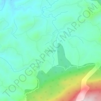
Name: Sholayur topographic map, elevation, terrain.

Location: Sholayur, Mannarkad, Palakkad, Kerala, 678581, India (11.04136 76.68020 11.08136 76.72020)

Average elevation: 886 m

Minimum elevation: 705 m

Maximum elevation: 1,451 m

Other topographic maps

Click on a map to view its topography, its elevation and its terrain.

Thachanattukara

India > Kerala > Mannarkad > Thachanatukkara

Average elevation: 71 m

Gear up for your next adventure:

🛏️Camping Sleeping Mat - Comfortable mats for sleeping outdoors
🪑Ultralight Camping Stool - Compact seating for rest stops during long hikes
👖Convertible Hiking Pants - Zip-off legs to adapt to changing weather conditions
🥾Lightweight Hiking Shoes - Comfortable shoes for day hikes
🥾Approach Shoes - Shoes designed for climbing approaches and rugged trails

As an Amazon Associate, this site earns from qualifying purchases at no extra cost to you.