Geolocate

Tengah topographic map

Click on the map to display elevation.

About this map

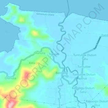
Name: Tengah topographic map, elevation, terrain.

Location: Tengah, Gorontalo Utara, Gorontalo, Sulawesi, Indonesia (0.89112 123.09131 0.93112 123.13131)

Average elevation: 24 m

Minimum elevation: 0 m

Maximum elevation: 203 m

Gear up for your next adventure:

🥾Trail Hiking Boots - Supportive boots for rough trails
🛶Waterproof Dry Bags - Keep electronics and clothes dry during river crossings
🧦Hiking Liner Socks - Thin base layer to prevent friction and blisters
🏕️Camping Hammock - Integrated protection for sleeping between trees
🩹Compact First Aid Kit - Pre-packed essentials for common trail injuries

As an Amazon Associate, this site earns from qualifying purchases at no extra cost to you.