
Chare topographic map
Interactive map
Click on the map to display elevation.
About this map
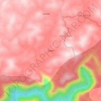
Name: Chare topographic map, elevation, terrain.
Location: Chare, Siddapura taluk, Uttara Kannada, Karnataka, Inde (14.39613 74.71530 14.43613 74.75530)
Average elevation: 471 m
Minimum elevation: 135 m
Maximum elevation: 576 m